
(click to enlarge photos)

One of our first now-then features for 2018 begins with a book and a town. The chosen book is for lovers of our state and good writing. Once in your hands or waiting in a library, you may want to open Washington: A Guide to the Evergreen State for one or more of those wonderfully absorbed little reads that visit us before slumber. The 1941 classic state guide is filled with more than 650 pages of skillfully interpreted visits to our state’s communities. Alas, it is also long out of print, but like many other cherished tomes, you may find it in a used bookstore. Poulsbo, our town of choice, has a few.

Today, to quote from the guide, this “picturesque fishing village on Liberty Bay” has a population of about 9,000. In the 1950 reissue (its last revision) of the WPA – funded guide, Poulsbo’s population is set at 639, an accounting done probably with the help of the 1950 federal census. Federal depression-time funds were also paying salaries to the book’s many out-of-work skilled authors. Using well-calibrated distances traveled on state and federal highways, Poulsbo, part of Tour 9A, is first reached on page 572.

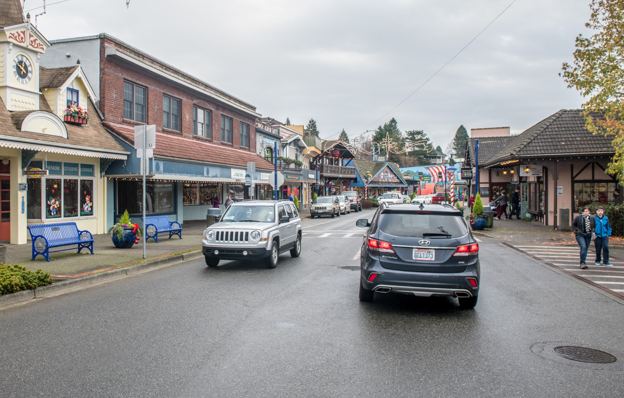
Poulsbo is introduced as stretching “along the sinuous shoreline of Liberty Bay. Substantial frame and brick buildings line the main street.” Poulsbo’s main street is named Front, and is seen here in the 1920s looking into the long curve from its intersection with Jensen Way N.E. (This refers to the featured photo at the top, and not the one that follows, below.)

For his repeat from the same prospect, Jean Sherrard had to settle for an early winter mist. He missed last year’s white Christmas by one day. A comparison of the “now” with the “then” reveals why the well-preserved Poulsbo attracts visitors to admire the old world charms of its towers, gables, rustic murals, half-timbered decorations, well-wrought balconies and flower baskets like those, we imagine hanging in Valhalla. As Washington: A Guide to the Evergreen State continues, it surely presages some changes: “Farms crowd the town from the hillsides.” Now there are also developments. The Guide’s demographic claim of 1950 no longer apply. It reads, “Approximately 90 percent of the persons living at present along the bayshore are Norwegians.” Today, visitors to Poulsbo may wish to study its residents and calculate their own statistic.

=====
Here we will interrupt our Poulsbo anecdotes of yore with Jean’s breaking news: his part in today’s parade from Capitol Hill to Seattle Center. Along the way Jean managed to repeat a 1950s parade shot showing a uniformed band reaching the intersection of Fourth Avenue and Pine Street where today’s parade made its 90 degree turn to the north on its last happy leg to Seattle Center. We will feature that repeat in an upcoming now-then.
WEB EXTRAS
Again, we strolled amongst the marchers today to capture another Now & Then classic. We’ll drop in a few photos here from a drizzly but energized day:


Anything to add, fellahs? Alas not much on Poulsbo. Although we do have several kitsap-related clippings among our about 1800 features those have not yet been scanned. (Any volunteers are welcome.) Instead we will visit some suburbs (including distant ones like Oregon and Dakota) and wander along the waterfront hinting at our yearning to cross the Sound. We will also favor a Scandi tone to much of it.


====================

=====

=====

=====

=====

=====

=====

=====

=====

=====

=====

=====

POSTSCRIPT:
“One Hot Hotel,” the last title above, is a reminder that in newspapers of size, like The Seattle Times, there are title specialists who are thought to be especially clever in dragging readers into the copy. Sometimes these specialists are, indeed, very clever. However, often they are mildly pathetic victims of the restraints in humor that come with any publication that runs on advertising.
=====
The book appears to be online in its entirety. Not as easy to read in bed, unless you use a tablet. https://books.google.com/books?id=07PpCAAAQBAJ&printsec=frontcover&source=gbs_ge_summary_r&cad=0#v=onepage&q&f=false
Never mind, some pages are missing. Try: https://babel.hathitrust.org/cgi/pt?id=mdp.39015019349318;view=1up;seq=1