
(click and click again to enlarge photos)


(Published in the Seattle Times online on Jan. 23, 2020
and in the PacificNW Magazine print edition on Jan. 26, 2020)
Connecting thirsty Seattleites with the life blood of water
By Jean Sherrard
Begin with a taste test. Fill a glass with water straight from the tap. Take a sip. Before swallowing, swish it between your teeth and over your tongue. If you’re in or around Seattle, the water you’re savoring likely flows directly from the Cascades, filtered from snowpack down through mountain streams and rivers that have supplied the city and environs for more than a century.
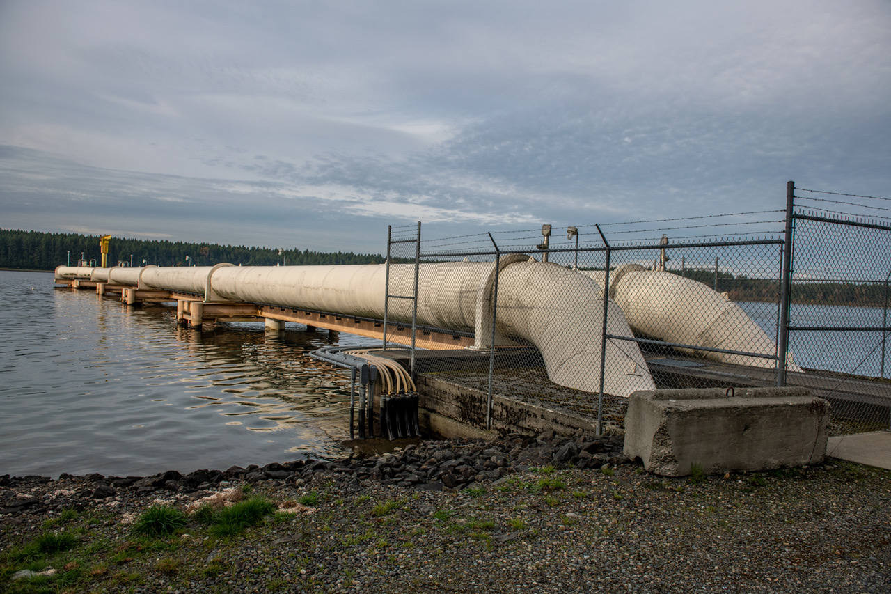
This week’s photos reveal obscure vestiges of the infrastructure that has made it all possible.
Arguably, our earliest water-supply system began with Henry Yesler, who in 1854 ran a suspended V-flume from a spring near Eighth Avenue and Madison Street just past his original homestead (near the heart of today’s Pioneer Square) to his waterfront sawmill.
Other settlers followed suit, tapping the abundant streams and springs of First Hill, then still crowded with virgin timber, improvising a creaky patchwork of wooden pipes and flumes.
As the young city grew, need for a less Balkanized water supply became apparent. The privately owned Spring Hill Water Company, incorporated in 1881, initially fit the bill, integrating sources and expanding to meet the needs of a thirsty population. In a substantial upgrade, the company studded First Hill with large wooden tanks, and a newly built, steam-powered pumping station on Lake Washington kept a 4-million-gallon reservoir on Beacon Hill brim full.
But on June 6, 1889, nearly 30 blocks of downtown Seattle burned to the ground, largely due to the failure of the Spring Hill water supply system. Tanks and reservoirs alike ran dry before the fire could be doused. Out of those flames a public utility was born.
Within months of the fire, the City of Seattle purchased Spring Hill Water Company and planned for expansion. All eyes
turned to the Cedar River, long recognized as a potential source of abundant, pure water, flowing from Cedar (now Chester Morse) Lake, some 35 miles southeast. The proposed gravity-fed water-supply system would be the one of the largest engineering projects yet undertaken by the rapidly rebuilding city.
Politics and economics might have shelved the project were it not for the vision and leadership of a newly appointed city engineer, Reginald H. Thomson, known for a formidable drive and intelligence.
Throughout the 1890s, Thomson lobbied tirelessly for Cedar River water, identifying the liquid as “the life blood of a city.” At last, on Jan. 10, 1900, from the Landsburg timber-crib dam (elevation: 536.4 feet), water coursed through 28 miles of wooden stave pipes around the south end of Lake Washington and north to two city reservoirs on Capitol Hill.
The expansion was just in the nick of time. Over the next decade, Seattle’s population exploded to nearly 240,000 from 80,000, tripling its thirst for pure mountain water.
WEB EXTRAS
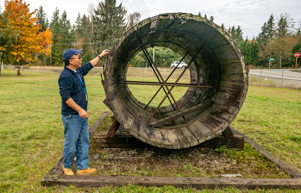
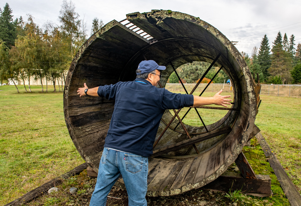
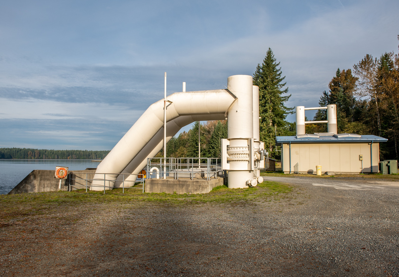
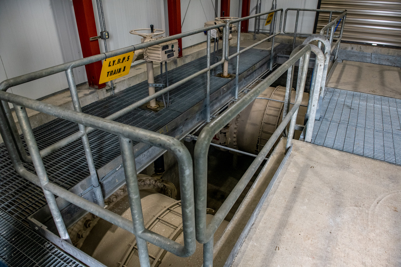
First, a huge thanks to Dave Muto of the Seattle Public Utilities, a veritable fount of information and my generous tour guide at Lake Youngs.
I’ll add in a few photos of the water works at Lake Youngs. Dave kindly provided several of the captions.
Our narrated 360-degree video can be found here.

It is glorious that you featured a piece on our underground infrastructure! When I first began working in Utilities a dozen years ago, the instructor at a water works class displayed a small piece of wooden water pipe. I was amazed at how recently it had been removed from its longtime habitat in Seattle. Now if only we can get people to understand that what they put into the storm drains goes back into our waterways…
Is that water in the background of the “then” photo? If so, what happened? I’m pretty sure it’s land now.
Hi Gavin,
It is indeed water. The land behind the pipes was called Robertson’s Pond and used as overflow. Since the 1930s, the pond has been restored to wetland and rarely floods these days.
j
Those early cedar #1&2 lines 35 miles dug by hand!!
Yeah, David, never mind Mike Mulligan and his steam shovel – amazing!