

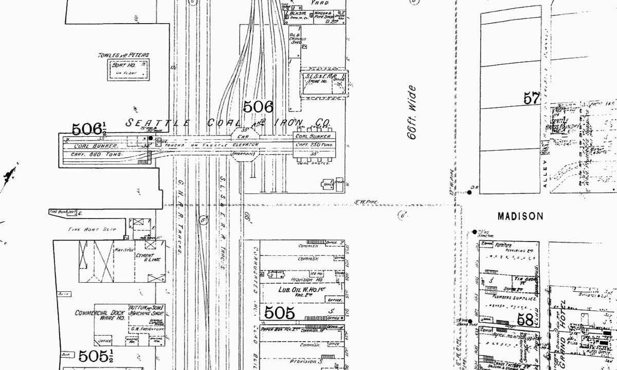
This detail, pulled from the 1893 Sanborn real estate map, shows the coal bunkers on the left and the trestle (for the coal) over Railroad Avenue and to the coal facilities between Railroad Avenue and Western Ave. The next photo below looks up Madison from that trestle in 1890 or 1891.