
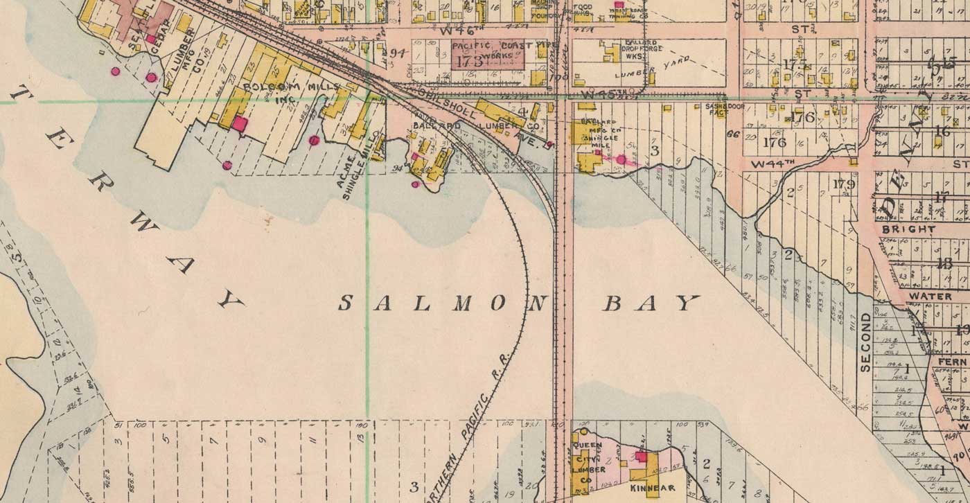
This 1908 Baist map may be compared to the 1912 map printed above. Some of the milll names are different, but the relationship between the curving Great Northern trestle and the 14th Ave wagon and trolley bridge is the same.

This 1908 Baist map may be compared to the 1912 map printed above. Some of the milll names are different, but the relationship between the curving Great Northern trestle and the 14th Ave wagon and trolley bridge is the same.