

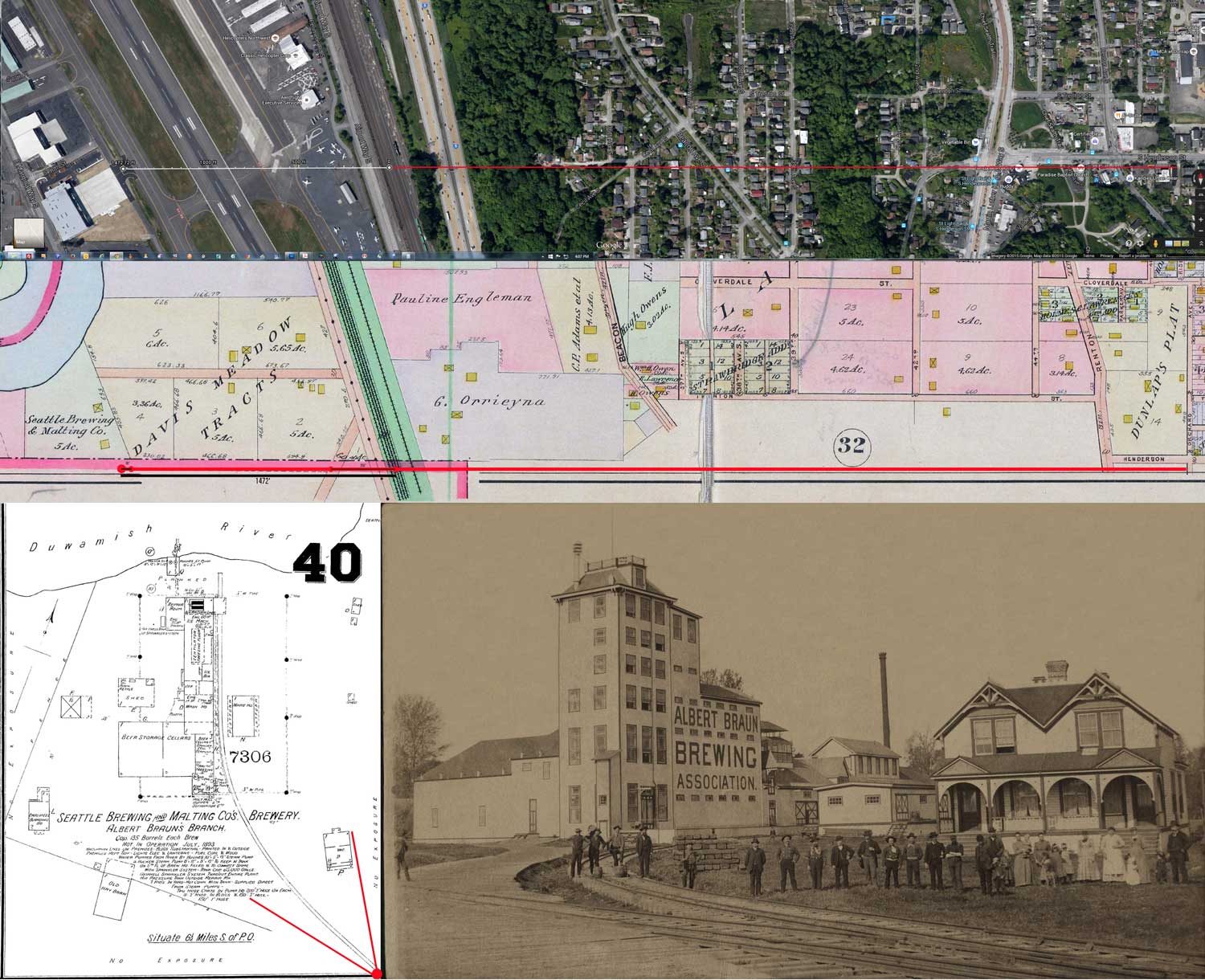
A detail of the 1893 Sanborn map is printed in the bottom-right corner. Running left-right through the middle of the montage is a detail from the 1912 Baist Real Estate Map, and on the top is a detail from the current GoogleEarth space shot of the old brewery site. (Thanks to Ron Edge for assembling this.)