
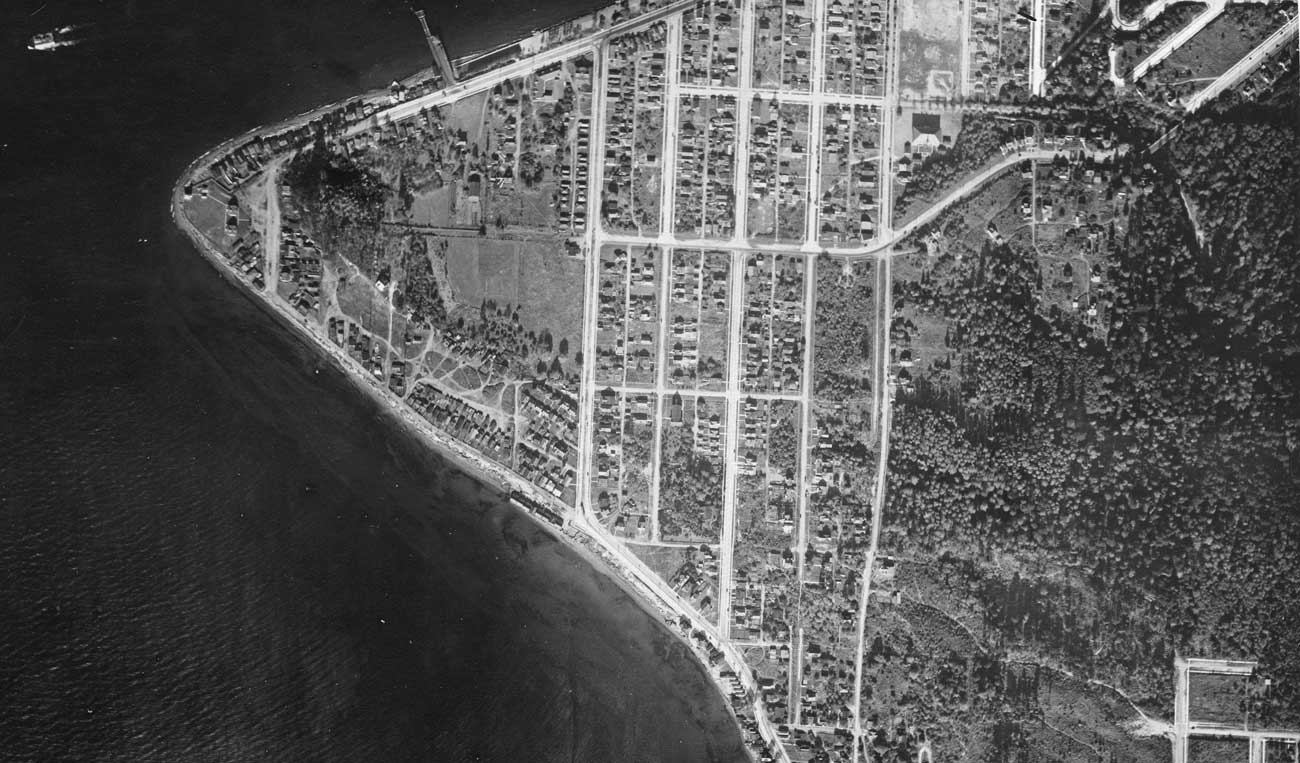
The Alki Point part of the 1929 aerial photography project to map Seattle. Note that the dock used by the Nat is just evident upper-left. The Nat., of course, is thirteen years past. (Courtesy Seattle Municipal Archive)

The Alki Point part of the 1929 aerial photography project to map Seattle. Note that the dock used by the Nat is just evident upper-left. The Nat., of course, is thirteen years past. (Courtesy Seattle Municipal Archive)