

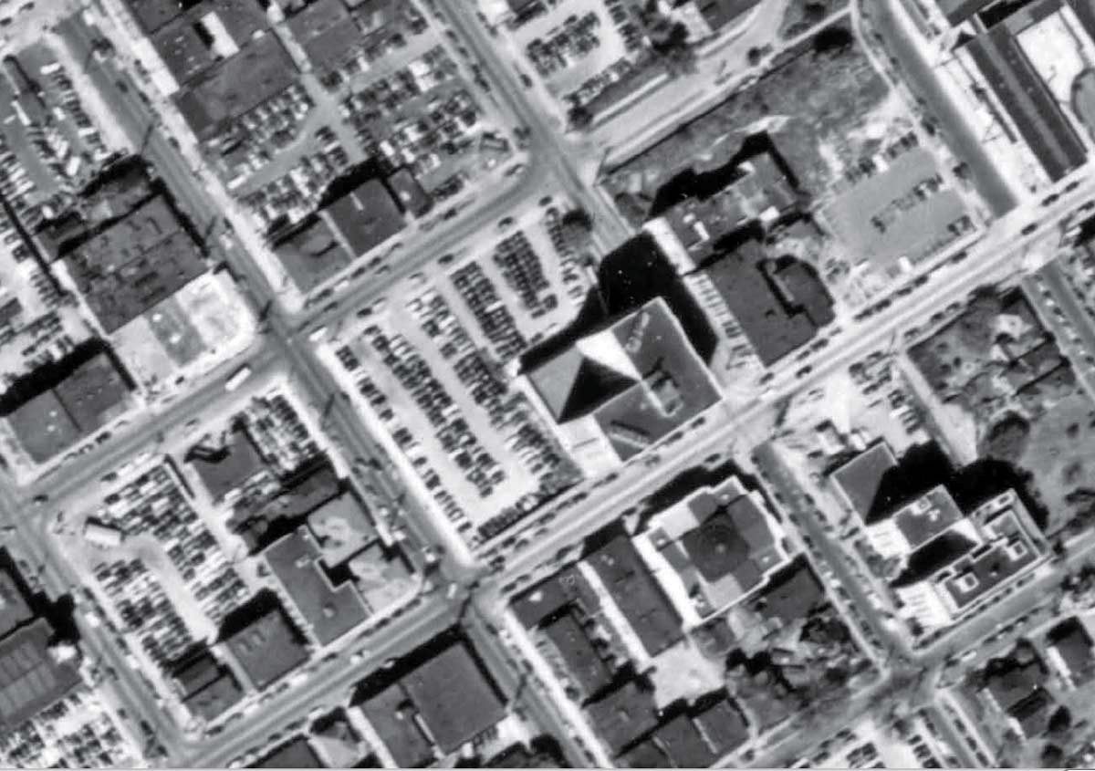
Detail from a 1946 mapping-aerial includes the Exeter (at the center) and the Forth Church of Christ Scientist below it. You can also count the cars through the parking lots that fills the remaining three-quarters of the Exeter’s block between 7th and 8th Avenues, Seneca and University Streets.