

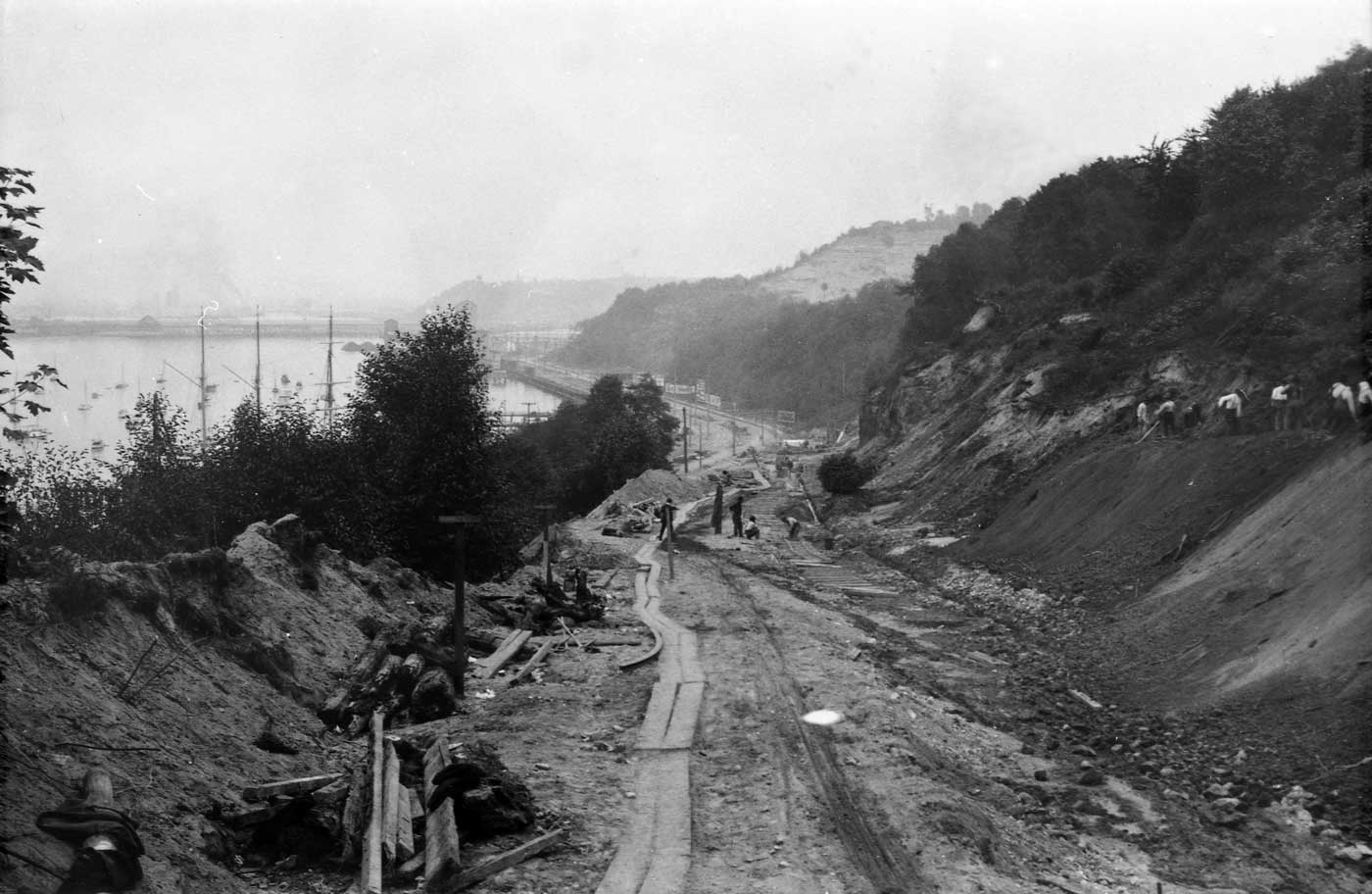
At some point on the left (east) side of this look south down California Blvd S.W., Mayland approaches but does not reach it as the 1908 Baist map, above, has it. This and the photo below it show work-in-progress on improving the former cable car route for motorcars and trucks.