
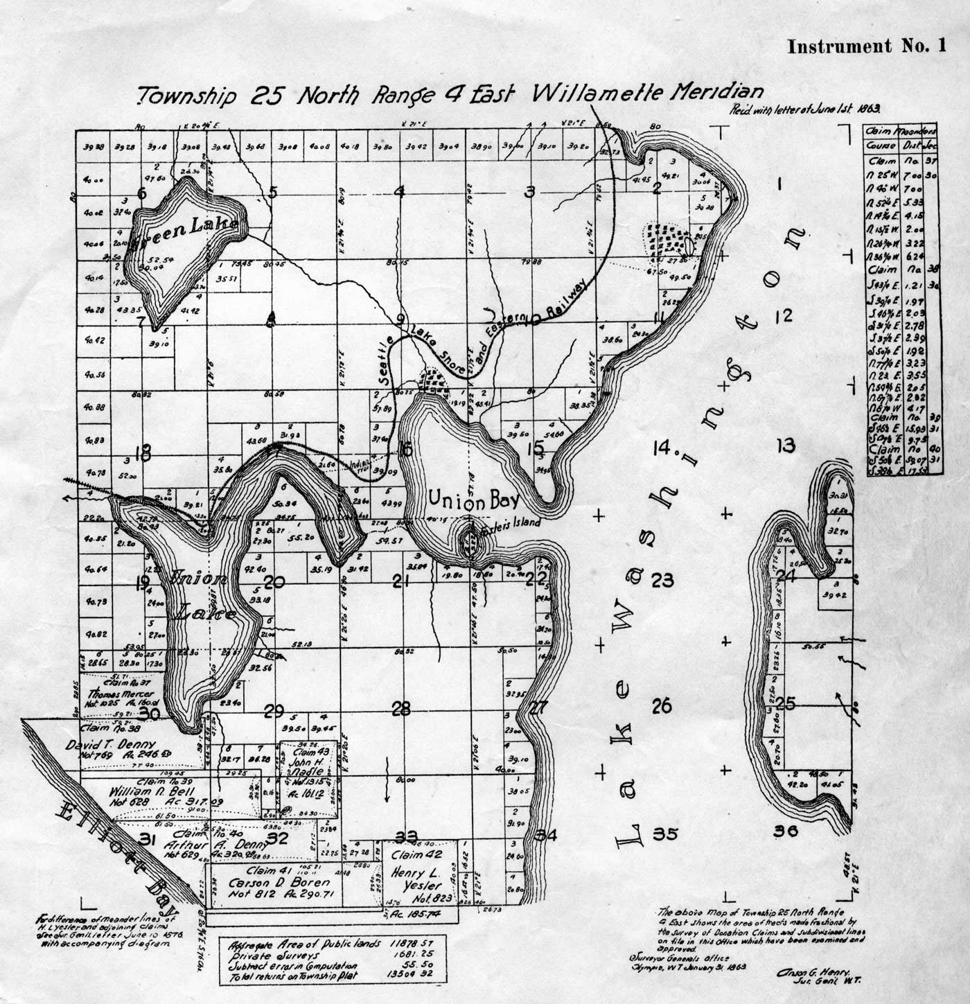
The map of the union bay and its “connections” drawn from the first federal survey from the late 1850s, but with “modern” features added like the Seattle Lakeshore and Eastern Railroad line.

The map of the union bay and its “connections” drawn from the first federal survey from the late 1850s, but with “modern” features added like the Seattle Lakeshore and Eastern Railroad line.