

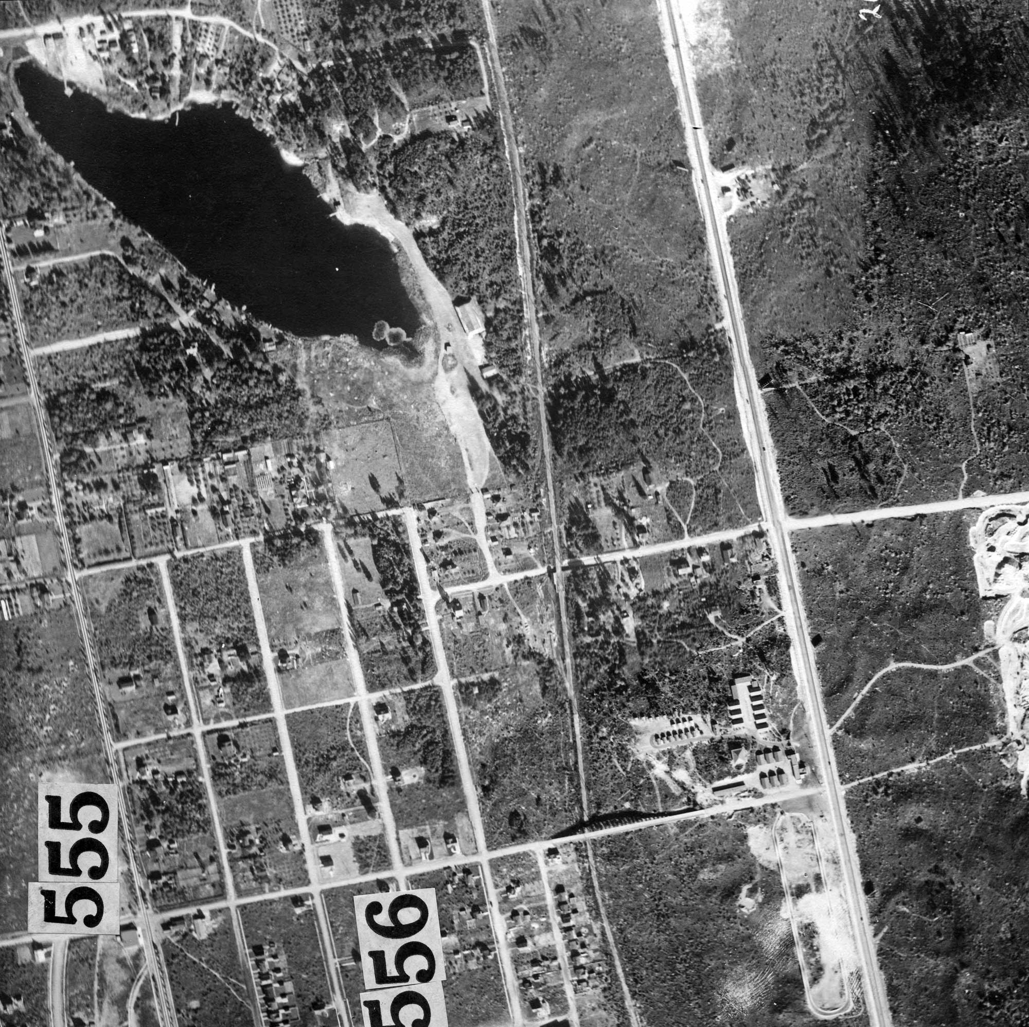
Parts of the several hundred “panels” that make up the city’s vertical aerial survey from 1921. As I write Ron Edge is working on merging the parts – hundreds of them – into one large aerial, which we will link to when he has it at last up on his web page of aerials and other regional attractions. This, can be compared, of course, with what follows: side-by-side aerials of Bitter Lake in 1936 (after the fire) and recently used courtesy of the Google sky.