

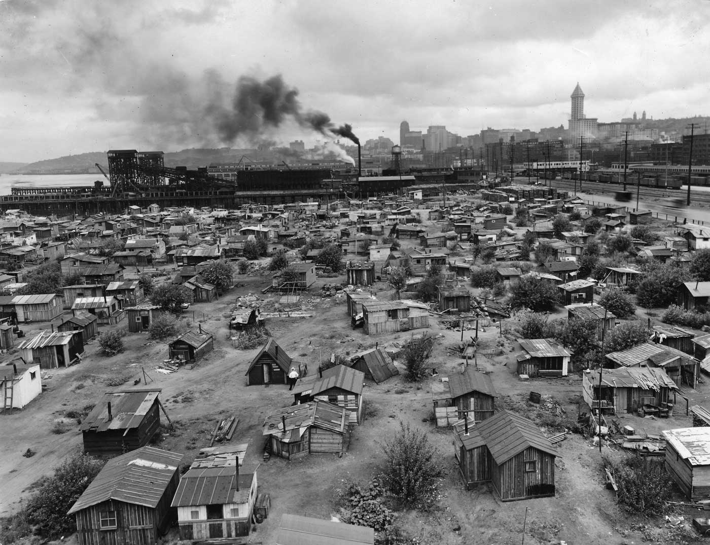
This is most likely the most oft-published panorama of Seattle’s own Hooverville, photographed here from the roof of the B.F. Goodrich Rubber Company building at the southwest corner of what were then Connecticut Street and Railroad Avenue and are today Royal Brougham and East Marginal Ways. Here we see a little more than half of the 500 shanties that live-in sociologist Donald Francis Roy described as “scattered over the terrain in insane disorder . . . in this labyrinth the investigator wandered for days, pacing off length and widths and distances fomr this to that and achieve, after a great sacrifice of leather, a fairly accurate map.