
(click to enlarge photos)


When first glimpsed, this week’s “then” charmed me with a classical restraint that is softly repeated, upside down, in Squak Slough. Especially satisfying are the comely barn, the blooming fruit tree and the saw-tooth horizon strung with surviving fir trees that for reasons only known to sawyers were earlier rejected by the clear-cutting lumber jacks. We are also puzzled why the unnamed photographer chose to have the farmhouse roof rise above and seemingly out of the barn. They seem to be attached, but, of course, are not.
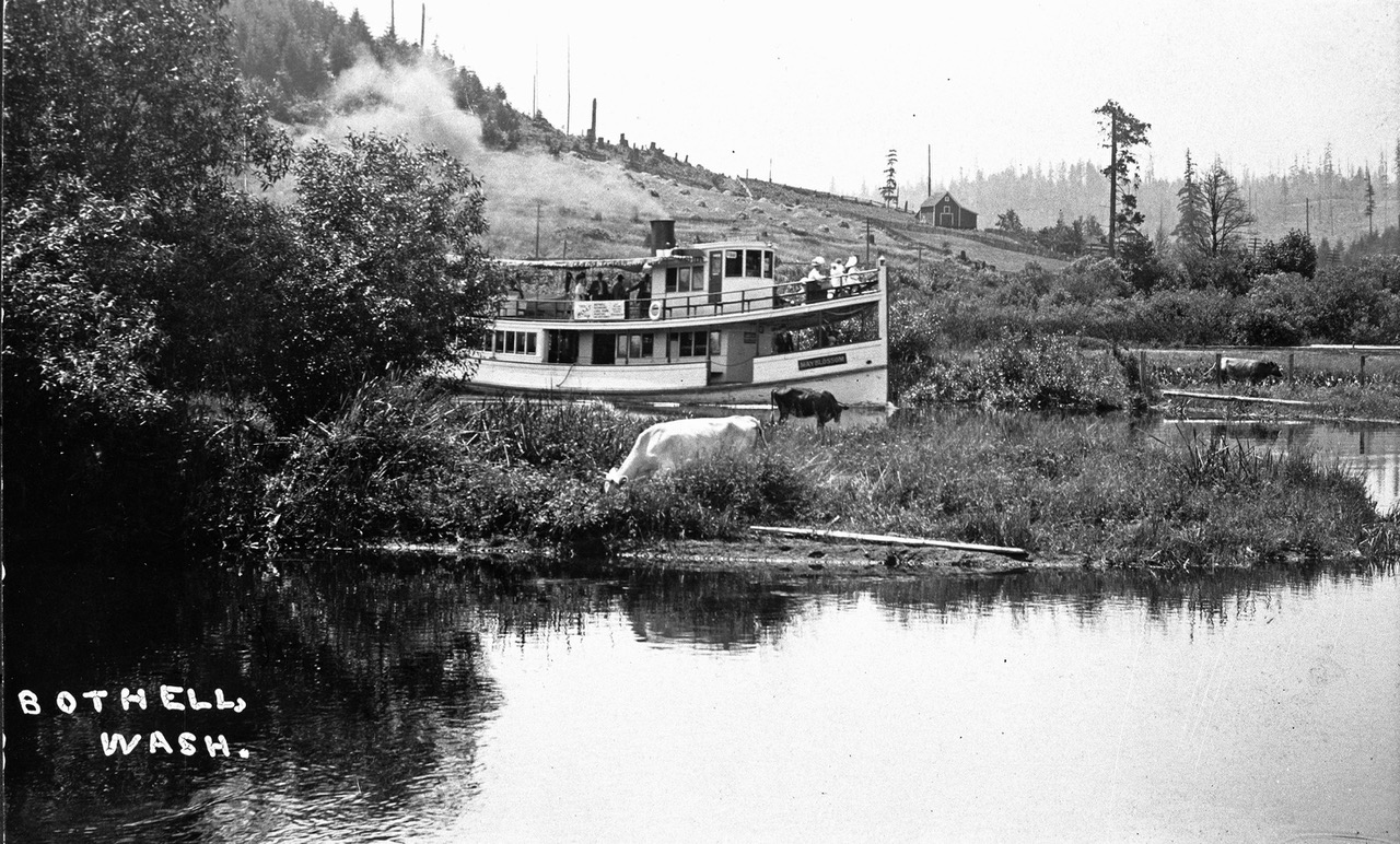
Although minimal, the caption penned on the negative is, of course, most helpful. It gives the indigenous name for the waterway we are now more likely to call the Sammamish River. Wondering where on the slough/river and by whom this farm was built, Jean and I sought expert help by first printing this Sunday’s photo in our blog dorpatsherrardlomont. Dean Jowers, a Redmond Historical Society volunteer, read the posting and took the challenge. With a print-out of this farm-scape in hand the retired operations manager, with a talent for details and spatial relations, hiked the fourteen miles that the slough courses between the two big lakes: Sammamish and Washington. In the beginning of his search, Jowers confesses, “I started at the wrong end of the river and was first wrong three times.” But then with the help of a 1919 topographical map, he found the horizon line. It registered the slight dent – or slump – above the farmhouse seen in the featured photograph at the top.

In Jean’s repeat, Dean Jowers poses for the “now” with, left-to-right, Margret Turcott and Sue Kienast, both energetic members of the Bothell Historical Society. They confirm Jowers’ research. This a little more than two miles above the Slough’s outflow into Lake Washington. The “then” photo was taken years before Lake Washington was lowered nine feet in 1916 with the building of the ship canal. In spite of the drop, the slough is still slow moving.
This is John & Christina Blyth’s Farm. At the urging of her brother Mattias Bargquist, the thirty-three year old Christina emigrated from Sweden in 1884. She soon met her future husband John Blyth, who was her brother’s friend and “next door” neighbor across the Slough. Perhaps there was some romantic maneuvering and conjugal conspiring involved in this meeting, for John accompanied Mattias on the lake steamer that first delivered Christina from Seattle to their farms facing across the Slough. John soon married Christina in their family home on March 11, 1885. Margaret Turcott tells this and other Blyth and Bothell stories well in her new book titled “Bothell” to be published this coming August. Dean Jowers suggests that the bridge showing on the right was built by these intertwined families for their friendly visits.

WEB EXTRAS
Anything to add, fellahs? Yes Jean, we will not disappoint you. Like candidates in a voters guide or totem figures on a pole we will stack below some features, old and older, that might lead one directly or eventually to the little river that runs between Bothell and Redmond.


mr-THEN")


======

=====

=====

=====

=====

=====

=====

=====

=====

=====

=====

=====

=====

=====

=====
